




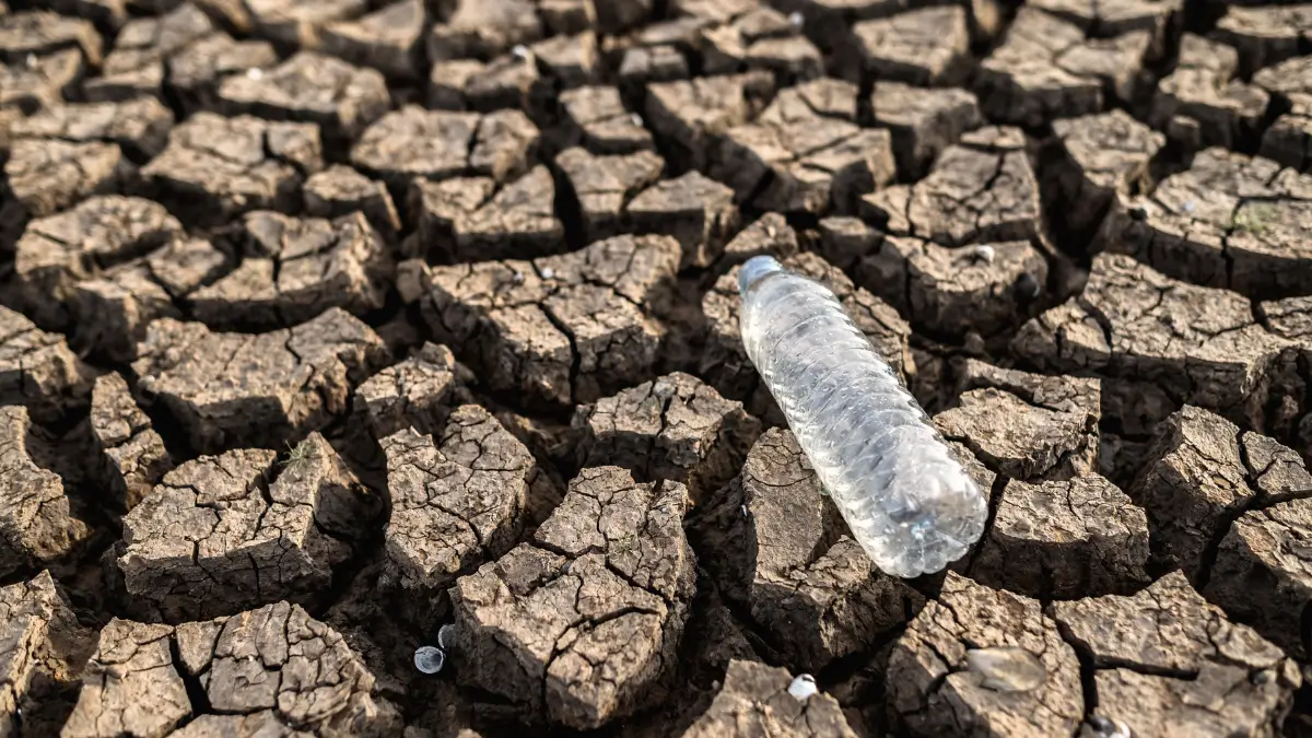
A strengthening El Niño could expose South Africa to drought, intense heat and severe summer thunderstorms during the final months of 2026, with households, farmers and emergency services urged to monitor official seasonal forecasts.
The World Meteorological Organisation said in July 2026 that El Niño was intensifying in the tropical Pacific Ocean and increasing the likelihood of extreme weather in several regions. For Gauteng, the developing system matters because it could influence summer rainfall, temperatures, water demand, agriculture and the frequency of damaging thunderstorms.
The organisation said its latest global seasonal climate update indicated rapid development into a strong El Niño during the July to September 2026 period. However, the precise rainfall impact in individual provinces will depend on local atmospheric conditions and other climate systems.
ALSO READ: The Gauteng Going-Out Guide: Smart Tips for Events, Ride-shares, Restaurants and More
What The Latest El Niño Forecast Shows
El Niño is a naturally occurring climate pattern associated with warmer than usual ocean surface temperatures in the central and eastern tropical Pacific.
The warming can alter global wind, rainfall and temperature patterns, although its effects differ between countries and even between regions within the same country.
The World Meteorological Organisation initially placed the probability of El Niño developing between June and August 2026 at 80 percent. It said the probability of the event continuing through the remainder of 2026 was close to or above 90 percent.
By July, international monitoring agencies reported that El Niño conditions were already present and expected to strengthen through the end of the year. The United States National Oceanic and Atmospheric Administration placed the probability of El Niño continuing into early 2027 at 97 percent.
The International Research Institute for Climate and Society also said its July forecast strongly favoured the persistence of El Niño throughout the available forecast period.
South Africa Could Face Hotter and Drier Conditions
El Niño is commonly linked to below normal summer rainfall across parts of southern Africa, although it does not automatically produce drought in every area.
The World Meteorological Organisation said stronger El Niño conditions could worsen drought in regions that receive reduced rainfall while increasing the likelihood of above normal temperatures.
Warmer conditions can increase evaporation from dams, rivers and soil. They can also raise household water consumption as residents use more water for drinking, cooling and gardens.
The organisation’s seasonal outlook projected above normal land temperatures across much of the world, with heat stress and developing drought conditions among the identified risks.
South African weather outcomes will still depend on the timing, strength and duration of El Niño, as well as the influence of regional ocean and atmospheric systems.
Severe Thunderstorms Remain Possible During a Dry Season
A drier seasonal forecast does not mean that Gauteng will avoid severe thunderstorms.
Summer rainfall can become less frequent but more intense, with long dry periods interrupted by heavy downpours. Hot surface temperatures and moisture in the atmosphere can support the development of powerful thunderstorms when suitable conditions form.
These storms may bring:
• Heavy rainfall over a short period
• Flash flooding in low lying and poorly drained areas
• Damaging wind gusts
• Frequent lightning
• Large hail
• Disruption to electricity and road networks
Gauteng has previously experienced damaging summer storms that flooded roads, damaged homes and disrupted traffic. Residents should therefore continue to follow daily warnings even if the broader seasonal outlook points to below normal rainfall.
A seasonal forecast describes expected conditions over several months. It cannot predict the location or timing of individual thunderstorms.
Agriculture Could Face Pressure From Heat and Uneven Rainfall
Farmers may face a combination of high temperatures, uneven rainfall and severe storms during the 2026 summer growing period.
Dry conditions can limit grazing, reduce soil moisture and place stress on crops. Extreme heat can also affect livestock, particularly where animals have limited access to water and shade.
At the same time, hail, strong winds and intense rainfall can damage crops during individual storms.
Agriculture organisations quoted in reports on the developing El Niño have cautioned that it remains too early to assume South Africa will experience conditions similar to the damaging drought of 2015 and 2016.
The country enters the coming production season with improved soil moisture in some areas and strong grain stocks following recent harvests. These reserves could provide some protection if rainfall becomes less reliable.
However, the effect will differ between regions, crops and farming operations. Officials and agricultural bodies will need to monitor rainfall distribution rather than relying only on national seasonal totals.
Food Prices and Water Supplies Will Be Closely Watched
Poor rainfall does not immediately translate into food shortages or sharp price increases.
Food prices are influenced by several factors, including crop yields, transport expenses, fuel prices, exchange rates, storage levels and international commodity markets.
Strong domestic grain stocks could help limit the immediate effect of a weaker harvest. However, an extended drought may eventually increase production costs and reduce agricultural output.
Municipalities and water authorities will also monitor dam levels, consumption and summer inflows.
Gauteng receives much of its water through an interconnected supply system rather than relying only on rainfall within the province. Lower rainfall across important catchment areas can therefore affect residents even when individual Gauteng storms produce heavy rain.
What This Means for Gauteng Residents
Gauteng residents should prepare for the possibility of a hotter and less predictable summer rather than assuming that every part of the province will experience continuous drought.
The developing El Niño could affect daily life through higher temperatures, increased water demand and periods of severe thunderstorm activity.
Residents can reduce their risk by:
• Following warnings issued by the South African Weather Service and municipal emergency services
• Avoiding flooded roads and low water bridges
• Securing loose outdoor objects before severe storms
• Unplugging sensitive equipment during intense electrical storms where it is safe to do so
• Using water responsibly during prolonged dry periods
• Providing children, older residents and pets with water and protection from extreme heat
Motorists should remain particularly cautious during the first heavy storms after dry periods. Oil, dust and other material collected on road surfaces can make roads slippery when rain begins.
Informal settlements and communities near rivers, streams and low lying land may face a greater flash flood risk during intense downpours.
Forecast Uncertainty Remains Important
Climate agencies have warned that even a strong El Niño does not produce identical effects each time it develops.
The strength of the Pacific Ocean warming does not directly determine how much rain will fall in Johannesburg, Pretoria, Ekurhuleni or other parts of Gauteng.
Local forecasts will become more reliable closer to the summer rainfall period. Residents should therefore use seasonal outlooks for preparation while relying on short term weather warnings for immediate decisions.
The World Meteorological Organisation said governments, disaster management agencies and communities should use early warnings to prepare for possible climate impacts rather than waiting for damaging conditions to develop.
Frequently Asked Questions
What is El Niño?
El Niño is a climate pattern caused by unusually warm ocean surface temperatures in the central and eastern tropical Pacific. It can influence rainfall, wind and temperatures in different parts of the world.
Has El Niño already started in 2026?
Yes. International climate agencies reported in July 2026 that El Niño conditions were present and expected to strengthen through the end of the year.
Does El Niño mean Gauteng will have no rain?
No. Gauteng can still receive rainfall and severe thunderstorms during an El Niño summer. The province may experience longer dry periods, uneven rainfall or fewer rain days, but individual storms can still bring flooding, hail and damaging winds.
Could El Niño affect food prices?
It could place pressure on agricultural production if drought and extreme heat reduce harvests. However, food prices also depend on grain reserves, fuel costs, transport, imports and global markets.
When will the strongest effects be felt?
El Niño commonly reaches its greatest intensity toward the end of the year. The developing 2026 event is expected to strengthen through the closing months of 2026, but its local effects will depend on regional weather patterns.
Gauteng Should Prepare For a Difficult Summer
The strengthening El Niño raises the possibility of hotter temperatures, unreliable rainfall and damaging thunderstorms across parts of South Africa during the 2026 summer.
Gauteng residents should not interpret the outlook as a guarantee of drought or severe weather in every community. It is an early warning that conditions may become more extreme and less predictable.
Regular updates from the South African Weather Service, municipalities and disaster management authorities will provide clearer information as the summer rainfall season approaches.
