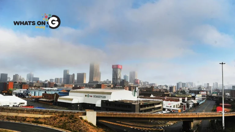
South Africans should prepare for wet and windy weather across several provinces on Thursday, 3 July 2025. The South African Weather Service (SAWS) has issued multiple warnings, highlighting the potential for disruptive rainfall, damaging winds, and severe thunderstorms. These conditions could impact daily activities, travel, and even pose risks to safety in certain regions.
Disruptive Rainfall and Flooding in the Western Cape
A Yellow Level 4 warning for disruptive rainfall is in effect for the western parts of the Western Cape. Heavy downpours are expected to lead to flooding of roads and low-lying bridges, creating a danger to life due to fast-flowing streams. Residents should avoid unnecessary travel and remain vigilant, especially in flood-prone areas.
“Disruptive rain and flooding warnings are in place for the Western Cape, as parts of the Northern Cape, North West, Free State, and Eastern Cape brace for damaging winds, thunderstorms and fire danger.”
Damaging Winds Across Multiple Provinces
In addition to heavy rain, damaging winds are forecast for:
- Extreme south-western North West
- Extreme south-eastern Northern Cape
- Western parts of the Free State
These winds, classified under a Yellow Level 1 warning, could cause localized damage to both formal and informal settlements and increase the risk of runaway fires. It is crucial for residents to secure loose objects and remain cautious, particularly in areas with dry vegetation.
Severe Thunderstorms in the Eastern Cape
The northern parts of the Eastern Cape will experience severe thunderstorms. The SAWS has issued a Yellow Level 1 warning for:
- Large amounts of small hail
- Damaging winds
- Excessive lightning
These storms may result in localized damage to property, falling trees, and flying debris. Residents should stay indoors during thunderstorms and avoid sheltering under trees.
Regional Weather Overview
The weather outlook for Thursday, 3 July 2025, by province includes:
- Gauteng: Cloudy and cool to cold, with isolated showers and thundershowers in the south-west.
- Mpumalanga & Limpopo: Partly cloudy and cool, warmer in the Lowveld.
- North West & Free State: Partly cloudy, windy, and warm with isolated to scattered showers and thundershowers.
- Northern Cape: Cloudy with morning fog in the west, otherwise partly cloudy, windy, and cool to cold.
- Western Cape: Cloudy and cool to cold with isolated to scattered showers, widespread in the south-west.
- Eastern Cape: Cloudy and cool, cold in the north, with scattered showers and thundershowers.
- KwaZulu-Natal: Partly cloudy and cool, isolated showers in the south-west, fine and warm in the east.
Fire Danger Warnings
There is an extremely high fire danger warning for the Tokologo Local Municipality in the Free State. Residents should avoid open flames and report any signs of wildfires immediately.
ALSO READ: Today’s Weather Forecast – Wednesday, 2 July 2025
Additional Impacts: Cold Fronts and Possible Snow
A cut-off low pressure system is moving over South Africa, contributing to the cold, wet, and windy conditions. Freezing levels are expected to drop sharply, with light snow possible over high-lying areas of the Cape Provinces, southern Drakensberg, and Lesotho.
Safety Tips for Residents
- Avoid flooded roads and low-lying bridges.
- Secure outdoor items to prevent wind damage.
- Stay indoors during thunderstorms and avoid sheltering under trees.
- Monitor local weather updates and heed all warnings from SAWS.
- Prepare for possible power outages and travel disruptions.
Stay Informed
Thursday, 3 July 2025, brings significant weather challenges to South Africa. By staying informed and taking necessary precautions, residents can minimize risks and ensure their safety during these wet and windy conditions.


