When South Africa’s nine new provinces were named in the wake of the country’s first democratic elections in 1994, the former Transvaal province became Gauteng (a Sesotho word meaning “place of gold). The name honours the gold-bearing Witwatersrand (“ridge of white waters”), a mountainous quartzite ridge that runs east to west across Gauteng. The Witwatersrand Basin has provided 40% of all gold mined from the Earth.
The province is located in the Highveld of South Africa, situated on a high-altitude plateau of extensive grasslands about 1 500m (4 900ft) above sea level. It is landlocked and surrounded by four other provinces: Limpopo to the north, Mpumalanga to the east, North West to the west and Free State to the south, separated by the Vaal River.
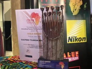
Although South Africa’s smallest province, it is the country’s richest and is densely populated. It is the economic heart of South Africa, chipping in an impressive 34% to the country’s GDP.
The map below shows Gauteng’s positioning in relation to South Africa:

Gauteng, influenced by the increased centralisation of modern cities, is divided into five regions municipalities: Johannesburg, Tshwane (Greater Pretoria), Ekurhuleni (the East Rand), the West Rand, and Sedibeng.
The population of Gauteng is estimated at approximately 13-million.
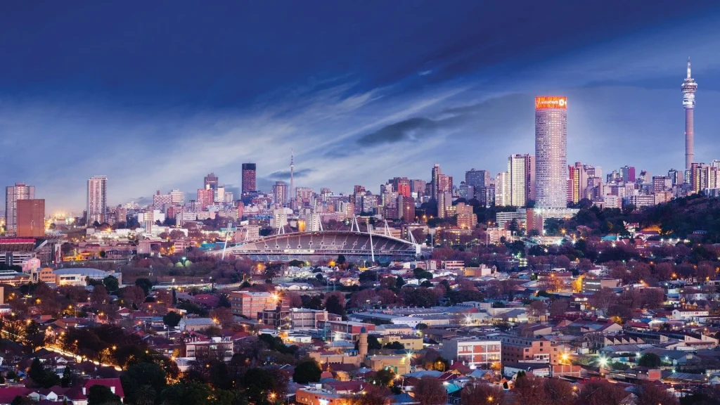
The skyscrapers of Johannesburg (also known as Joburg or Jozi), the provincial capital of Gauteng, proudly declare it one of the most modern and prosperous cities in Africa. Jozi is the hub of South Africa’s commercial, financial, industrial and mining undertakings.
The City of Johannesburg includes Soweto (South Western Township), originally a collection of settlements on the outskirts of Johannesburg populated by African mineworkers, and Lenasia, with a population mostly of Indian extraction.
The urban sprawl continues east from Johannesburg through towns such as Alberton, Benoni, Boksburg, Edenvale, Germiston, Brakpan, Nigel and Springs. These towns make up the Ekurhuleni Metropolitan Municipality, which includes Kempton Park and Oliver Tambo International Airport – a major entry point into the country.
The East Rand was founded on gold mining, but Springs is the site of rich coal deposits. The area provides access to a network of highways that link to all the major cities of South Africa.
Randfontein, Roodepoort and Krugersdorp, west of Johannesburg, are part of the West Rand, which is comprised largely of farms and smallholdings. The Krugersdorp Game Reserve and the Rhino and Lion Nature Reserve are near Kromdraai, and the area also boasts the Cradle of Humankind.
To the north of Johannesburg is the City of Tshwane Metropolitan Municipality, which includes Pretoria. The southern suburbs of Tshwane are slowly merging with the northern reaches of Johannesburg as urban spread continues.
Pretoria, the administrative capital of the country, is dominated by government services and the foreign diplomatic corps. Colourful gardens abound and the 50 000-strong purple-flowering jacaranda trees that line the streets make a splendid show in October.
The area of Sedibeng, about 50km south of Johannesburg, is the gateway to the popular Vaal River and Vaal Dam. It includes the towns of Vanderbijlpark, Vereeniging and Heidelberg.
This map shows Gauteng’s five regions: