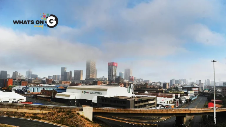
South Africa anticipates a wet and chilly midweek on Wednesday, 23 July 2025. The South African Weather Service (SAWS) has issued a Yellow Level 2 warning for disruptive rainfall, primarily impacting KwaZulu-Natal. Residents across several provinces should prepare for fog, isolated showers, and continued cold conditions.
CHECK OUT: Gauteng’s Hidden Gems: Discover Off-the-Beaten-Path Adventures in and Around Joburg & Pretoria
Yellow Level 2 Warning for Disruptive Rainfall in KwaZulu-Natal
SAWS has issued a Yellow Level 2 warning for disruptive rainfall along the north coast of KwaZulu-Natal. This warning indicates a significant risk of localised flooding in susceptible formal and informal settlements, roads, low-lying areas, and bridges. Driving conditions will likely be difficult due to slippery roads, increasing the risk of minor vehicle accidents, especially on dirt roads. This warning is valid from 22 to 23 July 2025.
Widespread Fog and Continued Cold
A foggy morning is expected across various regions of South Africa on Wednesday. These areas include the Overberg, the southern interior, the southern Highveld, and northern KwaZulu-Natal. Motorists should exercise extreme caution when driving in these conditions due to reduced visibility.
Isolated Showers and Thunderstorms
Isolated showers and thunderstorms remain likely across the interior of South Africa and KwaZulu-Natal. This is due to an upper and lower-level trough extending across these regions. Light showers are also expected to reach into the northeast.
Snowfall in Lesotho
Light snow will continue to fall over the mountains of Lesotho. While this directly impacts Lesotho, areas bordering the mountain kingdom in South Africa may experience very cold conditions.
Provincial Weather Outlooks
Gauteng
Cool with morning fog patches in the south and central parts, partly cloudy skies, and low temperatures around 9°C to highs of about 17°C.
KwaZulu-Natal
KwaZulu-Natal is expected to experience continued rain, particularly in Durban, with a high of 20°C and a low of 15°C. Pietermaritzburg will be cooler inland with scattered showers and thundershowers. The Yellow Level 2 warning for disruptive rainfall is in effect here.
Eastern Cape
The Eastern Cape will see scattered showers in Gqeberha, clearing later in the day, with temperatures ranging from 9°C to 21°C. East London will be damp, with a high of 22°C and a low of 13°C. Mthatha can expect cloudy and cool conditions, with possible severe thunderstorms in the northeast.
Mpumalanga
Morning fog along the escarpment; generally partly cloudy and cool in eastern areas, with isolated showers mainly outside the extreme west. Temperatures will range between 3°C to 23°C depending on location.
Limpopo
Patches of morning fog especially near the escarpment, partly cloudy and cool with isolated showers in the east. Temperatures vary from about 7°C to 23°C.
North West
Partly cloudy and cool, expecting isolated showers and thundershowers mostly over western parts, with daytime highs around 19-21°C.
Free State
Cloudy with morning fog patches over eastern parts initially, becoming partly cloudy and cool. Scattered showers and thundershowers are anticipated except in more northern areas. Temperatures day range between 6°C and 19°C.
Northern Cape
Morning fog in northern coastal parts; partly cloudy to cool/warm overall. Afternoon isolated showers and thundershowers likely in eastern and central zones, with moderate to fresh south-easterly coastal winds.
Western Cape
Partly cloudy with some morning fog or mist patches in northwest and southwest regions; otherwise dry, cool to warm. Afternoon isolated showers and thundershowers possible in extreme northeastern parts, with moderate to fresh southerly coastal winds.
Fire Danger
As of Wednesday, 23 July 2025, there are no fire danger warnings issued by SAWS.
Travel and Safety Recommendations
- Exercise extreme caution when driving, especially in areas affected by fog and heavy rainfall.
- Be aware of the risk of localised flooding, particularly in low-lying areas and informal settlements in KwaZulu-Natal.
- Monitor local weather updates from SAWS for real-time information.
- If you live in a flood-prone area, consider moving valuables to higher ground.
ALSO READ: R28 Billion Lost: The True Cost of Illicit Cigarette Trade in South Africa
Stay Warm
Central and eastern provinces will see unsettled weather conditions marked by rain, scattered thunderstorms, fog in places, and cool temperatures as a cold front influences the region. These conditions call for caution on the roads and preparedness for localized heavy showers or flooding, particularly over low-lying areas.
The country’s weather patterns suggest a need for continued vigilance. Stay informed and prioritize safety during this period of disruptive weather.


